Here you can find some Amelia Island map images to print out for your reference and travels.


Were the Amelia Island maps above useful to you? I hope you consider a visit to Amelia Island. It`s one of my favorite islands in Florida. It`s not party central, but it`s a relaxing place for a couple to visit.
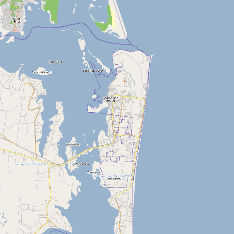
Amelia Island is an island off the coast of Nassau County, Florida. The island hosts a number of annual events, including musical and film festivals, sports tournaments, and other cultural events. It is a small island measuring at 21 km long and around 6 km wide at its widest. In terms that Americans would understand, that is 13 miles long and about 4 miles wide.
It is a barrier island that pleases visitors with its pristine beaches and variety of wildlife.


Were the Amelia Island maps above useful to you? I hope you consider a visit to Amelia Island. It`s one of my favorite islands in Florida. It`s not party central, but it`s a relaxing place for a couple to visit.
Amelia Island is an island off the coast of Nassau County, Florida. The island hosts a number of annual events, including musical and film festivals, sports tournaments, and other cultural events. It is a small island measuring at 21 km long and around 6 km wide at its widest. In terms that Americans would understand, that is 13 miles long and about 4 miles wide.
It is a barrier island that pleases visitors with its pristine beaches and variety of wildlife.


0 Comments