e Island is a state in the United States of America, in the New England region of the northeastern USA. It happens to be the smallest state in the whole country, with an area of just 1,214 square miles (or 3,140 km2). It is one of the original colonies of what would become the United States, and was the first of the thirteen colonies to declare independence. Strangely, it was the last of the colonies to ratify the US constitution.
The state has a small population of 1,052,567. The state capital and principal city of Providence has a population of 178,042. Curiously, the city`s metropolitan area has a population of 1,630,956 - greater than the entire state population! How is that possible? Well, it`s because the metropolitan area crosses state lines.
Here are some Rhode Island maps to help you when you`re visiting the state, especially by car.

This Rhode Island map shows the state`s cities and towns.

This Rhode Island map shows the regions of the state.

Here is a road map of Rhode Island, showing main streets and roads in the state.

The state has a small population of 1,052,567. The state capital and principal city of Providence has a population of 178,042. Curiously, the city`s metropolitan area has a population of 1,630,956 - greater than the entire state population! How is that possible? Well, it`s because the metropolitan area crosses state lines.
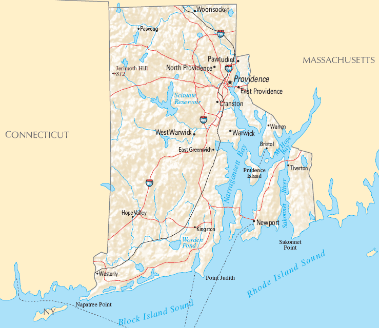
Here are some Rhode Island maps to help you when you`re visiting the state, especially by car.

This Rhode Island map shows the state`s cities and towns.

This Rhode Island map shows the regions of the state.

Here is a road map of Rhode Island, showing main streets and roads in the state.


0 Comments